

Up and Over: a late-summer subalpine backcountry trip.

This image and all others in this blog post © Tyler A.W. Burke
A longtime friend of mine - someone who first sparked my appreciation for the great outdoors years ago - recently invited me on a 4-day backcountry excursion to complete the highest hike in Alberta, near the town of Jasper. As I knew I’d be carrying a roughly 50lb pack for the 3 days of hiking involved, I brought only my smallest and lightest camera rig: a Fujifilm X-T20 + XF 16mm f2.8 WR lens. I figured I’d aim to capture two kinds of images on the trip: landscapes (I am by no means a landscape photographer, but I’ve always enjoyed the genre and thought the challenge would push me a bit to dive in) and documentary images of the experience itself. The hike was amazing and memorable: I hope the images and captions below capture a bit of that.

The three of us left around noon on Friday to begin the roughly 6-hour drive north-west from Calgary. The plan was to camp near the trailhead that evening but a rainy forecast made a cheap motel room the more appealing option.

Posh compared to the original plan, we awoke at the Tara Vista Inn early in the morning Saturday and headed off to the trail.

Window seat: the view from the shuttle bus, heading towards the trailhead.

Getting started. Also, bracing for the elevation gain.
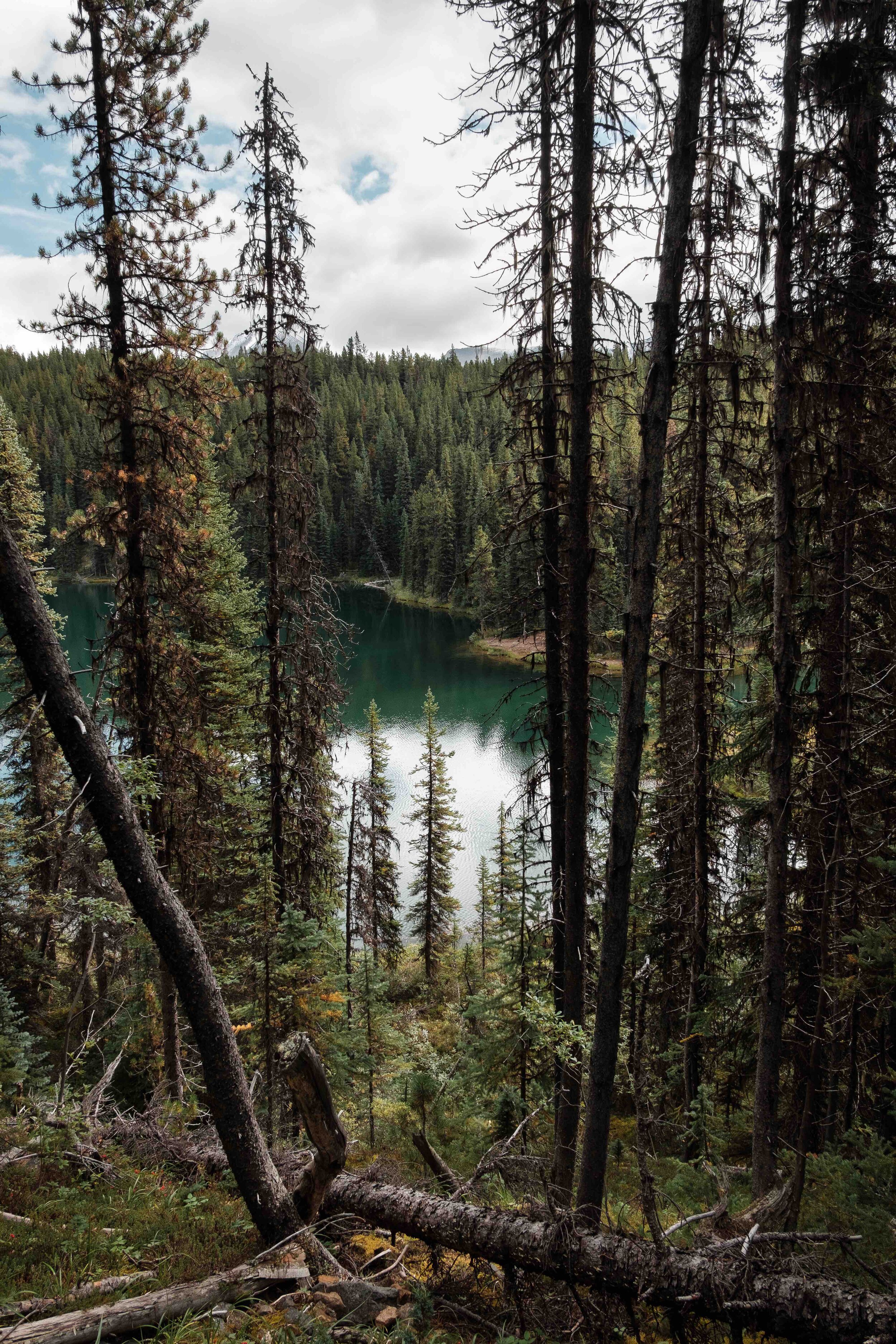

On our way up, we were treated to some nice views of a few small little mountain lakes and ponds.

Gaining elevation, heading for our first mountain pass.

The first pass behind us, we were treated to a descent through a mountainous meadow. The reverse shot from here is featured at the beginning of this blog post.

A family of curious Canada Jays visited us at the first campsite. It took some patience to get a shot of one using a wide-angle lens.

The last bit of daylight lingers on a distant mountain face, as seen from our table at the first campsite.

A late evening of rum cocktails, crib, and cold wind.

After a fairly frigid night, and a bit of breakfast, the camp tear-down begins - getting ready for a long day of hiking and some serious elevation gain.

He’s consulted the map, he knows the way.

This sub-alpine meadow was fill of glacial creeks, marmots, and 360-degree views.

With views like this, we had to pause and look back every so often. Ahead of us: a fairly substantial climb up to our next mountain pass.

Immediately after the climb up, the terrain changed drastically as we left the tree-line and meadows behind for a more barren, wind-swept hike across to a trail that looked like it went straight up a mountain base-to-tip (it pretty much did).

The view from the pass, just out of view to the right of this frame is the aforementioned vertical-looking ascent.

Not pictured: me sweating my ass off. The pass from two photos ago is the distant trail visible above/between the two guys - just left of the tiny patch of snow in the distance. We had already come quite a way at this point, and we were just beginning our way up the trail ascending the mountain.

A member of our party had just come from a few weeks’ work in Vancouver (i.e. at sea level), and it was at about this point that the elevation (roughly about 2500m at this point) really started to take its toll on him. The pause allowed me to take in all the natural splendour we were leaving behind.

We did it: the highest point of the highest hike in Alberta.

Altitude, wind, and success.

And so began a few kilometres along the tops of mountains, cambered, and with gale-force winds necessitating constant vigilance. There’s no feeling quite like being on top of a mountain with nature - aka relentlessly whipping winds - constantly trying to remove you, to make you realize you’re alive.

Not pictured: massive amounts of oxygen being rammed into our lungs.

And the way continues along the top of the world.

Death was always just a step behind us.

And after earning our windburns (I’m only half kidding), the way down opened up before us. As you can see along the left-hand side of the image, it was a gradual, meandering descent into a new mountain valley.
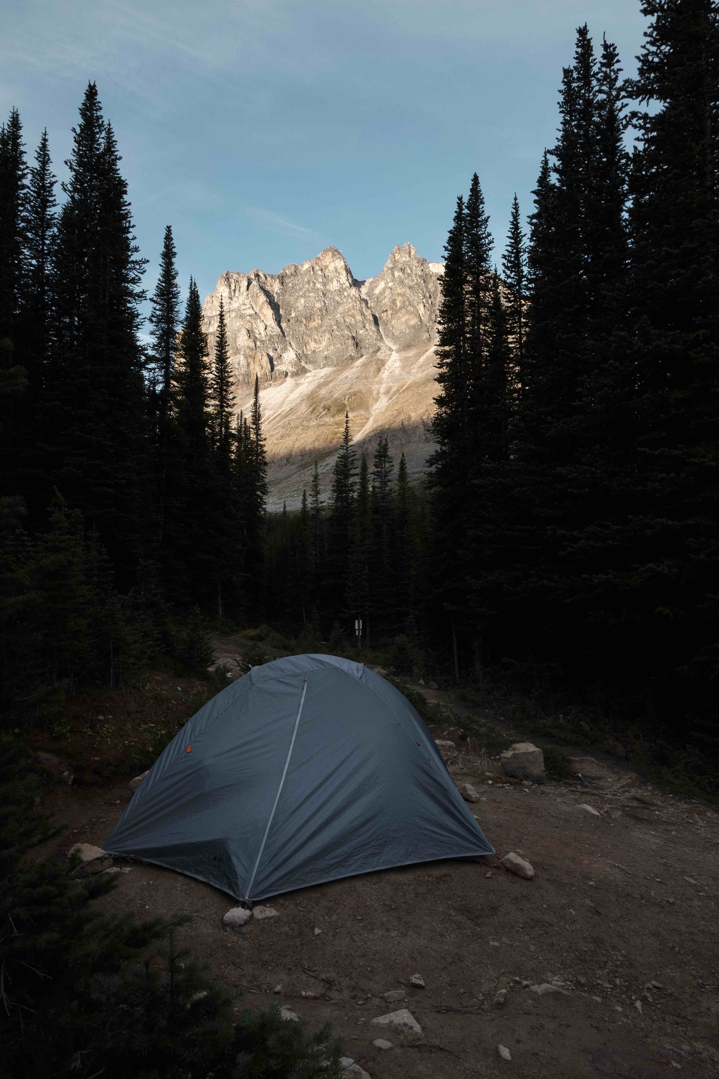
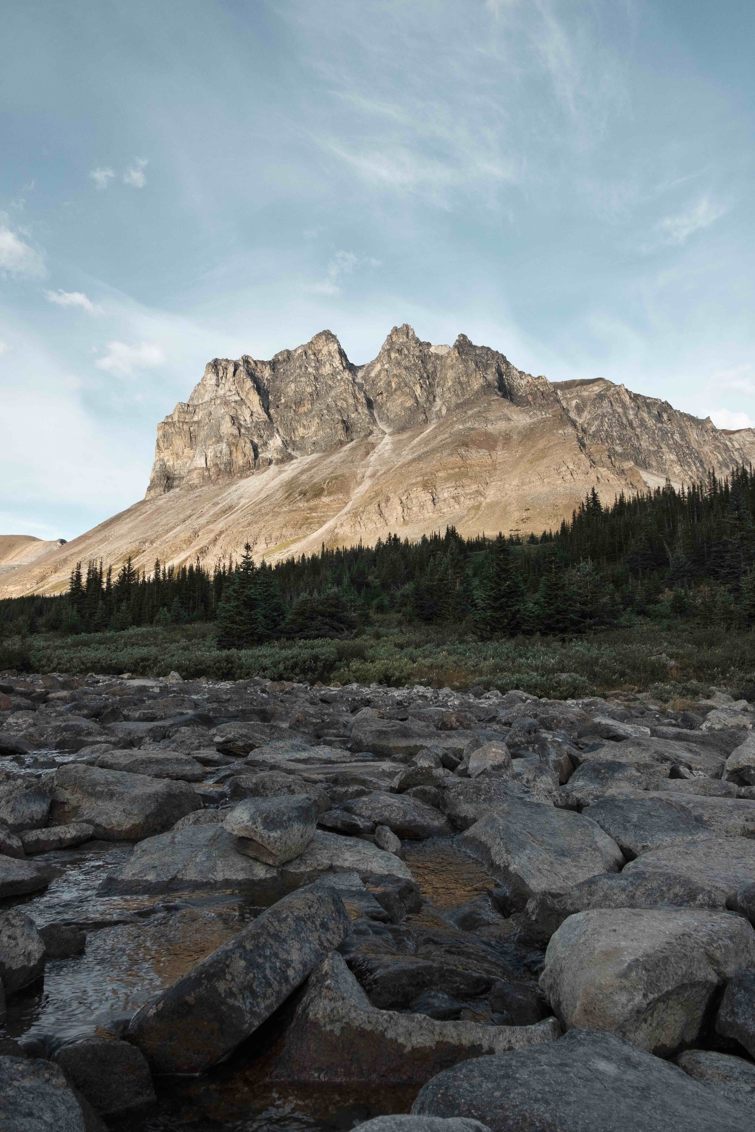
The hike into camp from the last point pictured went on forever that evening. After setting up, cooking and eating dinner, and playing a cold game of crib, it was time for some much-deserved sleep. The next morning, I was the first to rise and captured these photographs before a day of hiking down ensued.

A member of our party couldn’t get a meal at Montanas out of his head the entire trip, so after completing the final hike it was time to head into town for some food and beers before the long drive home.
I’ll definitely be looking back on this trip fondly for years to come.
I hope you enjoyed this post!